
El Malpais National Conservation Area
geographic name | Pronounced: \el mahl-pah-ees\ | IPA: /ɛl ˌmɑl pɑˈis/
Definition of El Malpais
Dramatic national park, established 1987, in the Trails of the Ancients Byway of Western New Mexico. It is known for its barren volcanic field, located at the center of the area. It is a diverse landscape of dramatic sandstone cliffs, mountains, canyons, and mesas.
Examples of El Malpais
Origin of the El Malpais
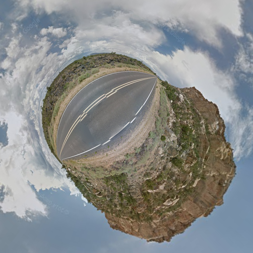
The area has been inhabited for over 10,000 years. The Navajo modern culture, particularly the Ramah, and the Pueblo modern culture, particularly the Acoma, Laguna, and Zuni still use the area for cultural activities. “El Malpais” means “the badlands” in Spanish, and the area was named so when the Spanish Santa Fe de Nuevo in the mid 1500s. El Malpais National Conservation Area was established in 1987, protecting the 263,000 acres of land.
- Alternate spellings exist; The Badlands.
- First Known Use: 16th century
Other features include; La Ventana Natural Arch, one of the largest arches in New Mexico. Ice Cave, a perpetually frozen body of water with arctic algae inside of a freezing cave. Other features include Bandera Volcano and Sandstone Bluffs Overlook. The area of the parks is over 200,000 acres large.